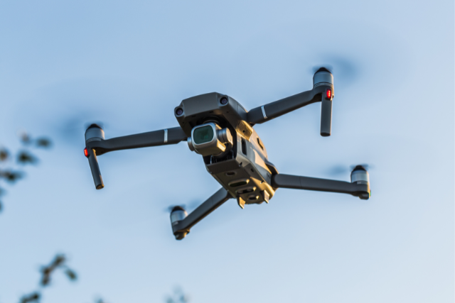
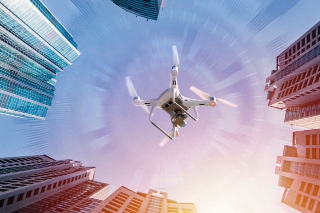
Urban planning has always been a complex process, but with the advent of drones, a new dimension of possibilities has emerged. Drones, or unmanned aerial vehicles (UAVs), are revolutionizing how cities are designed, developed, and managed.
In the context of smart cities, drones play a crucial role in enhancing efficiency, sustainability, and livability. This article explores the diverse applications of drones in urban planning and how they contribute to the development of smart cities.
Introduction to Drones in Urban Planning
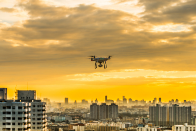
Urban planners are increasingly leveraging drone technology to gather data, monitor progress, and ensure the successful implementation of projects.
Drones offer a bird’s-eye view invaluable for mapping, surveying, and inspecting urban environments. This capability is particularly beneficial in densely populated areas where traditional methods might be limited or less efficient.
Benefits of Drones in Urban Planning
Enhanced Data Collection
Drones with high-resolution cameras and sensors can capture detailed images and data from various angles and altitudes. This enhanced data collection is crucial for creating accurate maps, 3D models, and geographic information systems (GIS) that urban planners rely on.
Cost-Effective and Time-Saving
Traditional surveying and data collection methods can be time-consuming and expensive. Drones significantly reduce the time and cost involved in these processes. Their ability to quickly cover large areas and gather precise data makes them an invaluable tool for urban planning.
Improved Accuracy and Precision
The precision of drones in capturing data surpasses that of many traditional methods. This improved accuracy ensures that urban planners have reliable information for decision-making, which is essential for the success of urban development projects.
Applications of Drones in Urban Planning
Mapping and Surveying
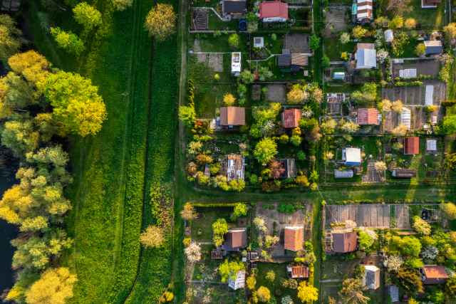
Drones are extensively used for mapping and surveying urban landscapes. They provide detailed aerial images that can be used to create accurate maps and 3D models. These maps are essential for planning infrastructure, zoning, and land use.
Infrastructure Inspection
Inspecting bridges, roads, and buildings can be challenging and risky. Drones offer a safe and efficient way to examine these structures, identifying and addressing potential issues promptly. This infrastructure inspection capability is significant for maintaining the safety and functionality of urban environments.
Environmental Monitoring
Drones with environmental sensors can monitor air quality, temperature, and other environmental factors. This data is vital for developing sustainable urban planning strategies and ensuring that cities remain healthy and livable.
Traffic Management
Drones can monitor traffic patterns in real time, providing valuable data for traffic management and planning. This information helps urban planners design more efficient road networks and public transportation systems, reducing congestion and improving city mobility.
Disaster Management
In natural disasters or emergencies, drones can quickly assess damage, locate survivors, and deliver essential supplies. Their ability to navigate rugged terrains and provide real-time data makes them necessary for disaster management and response.
The Role of Drones in Smart Cities
Enhancing Smart Infrastructure
Smart cities rely on advanced technologies to improve urban infrastructure. Drones play a key role in enhancing smart infrastructure by providing real-time data and insights. This information helps efficiently manage utilities, transportation, and public services, contributing to the overall sustainability and resilience of smart cities.
Supporting Sustainable Development
Drones contribute to sustainable development by enabling better planning and management of resources. They help monitor environmental conditions, optimize energy use, and reduce waste, making cities more sustainable and environmentally friendly.
Facilitating Citizen Engagement
Drones can also facilitate citizen engagement by providing visual and interactive data that helps residents understand urban planning initiatives. This transparency fosters community involvement and support for urban development projects.
Enabling Smart Mobility
Smart cities prioritize efficient and sustainable mobility solutions. Drones support smart mobility by providing data for traffic management, optimizing public transportation routes, and even delivering goods and services. This enhances the convenience and quality of life for city residents.
Challenges and Considerations
Regulatory and Privacy Issues
The use of drones in urban planning raises regulatory and privacy concerns. It is essential to establish clear regulations and guidelines to ensure the responsible and ethical use of drones. Privacy issues must be addressed to protect citizens’ rights and prevent data misuse.
Technical Limitations
While drones offer numerous benefits, they also have technical limitations, such as limited battery life and payload capacity. Continuous advancements in drone technology are necessary to overcome these challenges and maximize their potential in urban planning.
Integration with Existing Systems
Integrating drone data with existing urban planning systems and processes can be complex. It requires seamless collaboration between stakeholders, including urban planners, technology providers, and government agencies.
Future Prospects of Drones in Urban Planning
The future of drones in urban planning looks promising, with ongoing technological advancements and increased adoption in smart cities. Here are some key prospects:
Advanced-Data Analytics
Integrating drones with advanced data analytics and artificial intelligence will enhance their ability to analyze and interpret data. This will provide urban planners with deeper insights and more accurate predictions for urban development.
Autonomous Drones
Developing autonomous drones capable of operating without human intervention will revolutionize urban planning. These drones will be able to perform monitoring, surveying, and inspections more efficiently and effectively.
Expanded Applications
As drone technology continues to evolve, its applications in urban planning will expand. We can expect to see drones being used for tasks such as waste management, energy monitoring, and even urban farming, further contributing to the development of smart cities.
Detailed Applications of Drones in Urban Planning
Aerial Photography and Videography
Drones equipped with high-definition cameras provide stunning aerial photography and videography, capturing the essence of urban landscapes. These visuals are instrumental in urban planning presentations, helping stakeholders visualize proposed developments.
Land Use and Zoning Analysis
Drones facilitate detailed land use and zoning analysis by providing comprehensive views of urban areas. This information helps planners make informed decisions about zoning regulations, land development, and land use planning.
Construction Site Monitoring
Drones play a critical role in construction site monitoring, providing real-time updates and ensuring that projects stay on schedule. They help identify potential issues early, allowing for timely interventions and corrections.
Utility Management
Drones assist in managing utilities such as water, electricity, and telecommunications. By inspecting utility lines and infrastructure, drones help ensure the reliable and efficient delivery of services to urban residents.
Urban Heat Island Effect Monitoring
Drones with thermal sensors can monitor the urban heat island effect, where urban areas become significantly warmer than their rural surroundings. This data helps develop strategies to mitigate heat islands’ impact on urban environments.
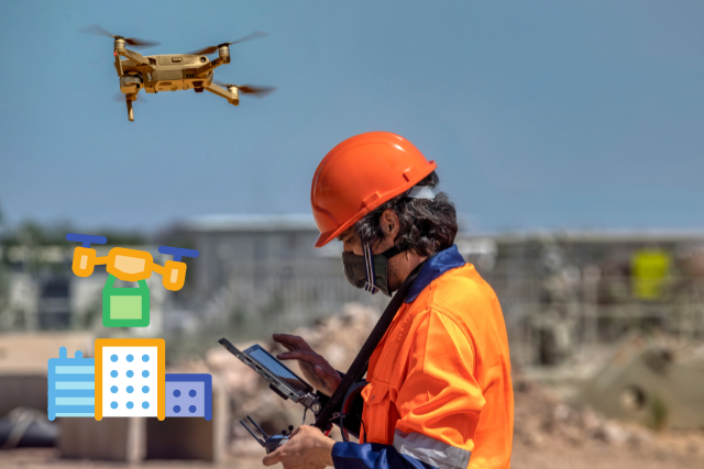
Public Safety and Law Enforcement
Drones are increasingly used in public safety and law enforcement. They assist in monitoring large public gatherings, traffic enforcement, and crime scene investigations, enhancing urban areas’ overall safety and security.
Real Estate and Property Management
Drones are transforming the real estate industry by providing detailed aerial views of properties. They help real estate agents showcase properties to potential buyers and assist in property management by identifying maintenance issues.
Environmental Impact and Sustainability
Monitoring Green Spaces
Drones help monitor and manage green spaces in urban areas. They provide data on vegetation health, identifying areas that need maintenance or improvement, and ensuring the sustainability of urban green spaces.
Air Quality Monitoring
Drones equipped with air quality sensors can monitor pollution levels in real time. This data is essential for developing strategies to improve air quality and ensure a healthy living environment for urban residents.
Water Quality and Management
Drones assist in monitoring water quality in urban areas by collecting samples and data from rivers, lakes, and reservoirs. This information helps manage water resources and ensure clean water availability for residents.
Waste Management
Drones are used in waste management to monitor landfill sites and collection points. They help identify areas that need attention, ensuring efficient waste management and reducing the environmental impact of urban waste.
Renewable Energy Monitoring
Drones support the monitoring and managing of renewable energy sources such as solar panels and wind turbines. They provide data on the performance and condition of these installations, ensuring their efficient operation and contribution to urban sustainability.
The Role of Drones in Enhancing Urban Livability
Improving Public Health
Drones contribute to public health by monitoring environmental conditions and supporting the management of green spaces. They help ensure that urban areas are healthy and conducive to the well-being of residents.
Enhancing Public Services
Drones enhance the delivery of public services by providing real-time data and insights. They support the efficient management of utilities, transportation, and public safety, improving urban areas’ overall quality of life.
Supporting Smart City Initiatives
Drones are integral to the implementation of smart city initiatives. They provide the data and insights needed to develop smart infrastructure, optimize resource use, and enhance urban livability.
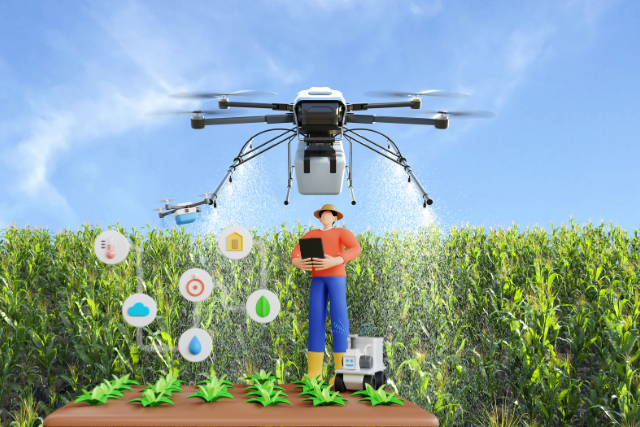
Facilitating Urban Agriculture
Drones support urban agriculture by monitoring crop health, soil conditions, and water use. They provide data that helps urban farmers optimize their practices and contribute to local food production.
Integrating Drones with Other Smart Technologies
Internet of Things (IoT)
Integrating drones with the Internet of Things (IoT) enhances their capabilities. IoT sensors and devices can be used with drones to collect and transmit data, providing a comprehensive view of urban environments.
Artificial Intelligence (AI)
Artificial Intelligence (AI) enhances the capabilities of drones by enabling advanced data analytics and decision-making. AI algorithms can analyze drone data to identify patterns, predict trends, and support urban planning.
Geographic Information Systems (GIS)
Integrating drones with Geographic Information Systems (GIS) enhances urban planning by providing detailed spatial data. This data is used to create maps, models, and simulations that support informed decision-making.
Smart Infrastructure
Drones support the development of smart infrastructure by providing real-time data on the condition and performance of urban assets. This information helps efficiently manage infrastructure, ensuring its reliability and sustainability.
Smart Mobility Solutions
Drones contribute to the development of intelligent mobility solutions by providing data on traffic patterns, public transportation usage, and pedestrian movement. This information helps urban planners design efficient and sustainable transportation systems.
Best Practices for Using Drones in Urban Planning
Establishing Clear Regulations
It is essential to establish clear regulations and guidelines for using drones in urban planning. These regulations should address privacy concerns, safety issues, and the ethical use of drones.
Ensuring Data Privacy
Protecting data privacy is crucial when using drones in urban planning. Measures should be taken to ensure that the data collected by drones is used responsibly and that citizens’ privacy rights are respected.
Collaborating with Stakeholders
Integrating drones in urban planning requires collaboration between various stakeholders, including urban planners, technology providers, government agencies, and the community. This collaboration ensures that drone initiatives are aligned with the needs and priorities of the community.
Continuous Training and Education
Continuous training and education are essential for maximizing the potential of drones in urban planning. Urban planners and other stakeholders should be trained in drone technology and data analysis.
Investing in Advanced Technology
Investing in advanced drone technology is crucial for ensuring that urban planners have access to the best tools and data. This includes high-resolution cameras, sensors, and data analytics platforms.
Conclusion
Drones are transforming urban planning and the development of smart cities by providing innovative solutions for data collection, infrastructure inspection, environmental monitoring, and more.
Their ability to enhance efficiency, accuracy, and sustainability makes them an invaluable tool for urban planners. However, addressing regulatory, privacy, and technical challenges is essential to fully realizing their potential. In future, we can expect to see even greater integration and impact in urban planning and smart cities.
FAQs
1. How are drones used in urban planning?
Drones are used in urban planning for mapping, surveying, infrastructure inspection, environmental monitoring, traffic management, and disaster management. They provide accurate and detailed data that aid in urban areas’ efficient planning and development.
2. What benefits do drones offer for smart cities?
Drones offer numerous benefits for smart cities, including enhanced data collection, cost-effectiveness, improved accuracy, and support for sustainable development. They contribute to smart infrastructure, mobility, and citizen engagement.
3. What are the challenges of using drones in urban planning?
Challenges include regulatory and privacy issues, technical limitations such as battery life and payload capacity, and the complexity of integrating drone data with existing urban planning systems.
4. How do drones support sustainable development?
Drones support sustainable development by monitoring environmental conditions, optimizing resource use, reducing waste, and providing data for sustainable urban planning strategies.
5. What is the future of drones in urban planning?
The future of drones in urban planning includes advancements in data analytics, the development of autonomous drones, and expanded applications in areas such as waste management, energy monitoring, and urban farming.
6. How can privacy concerns be addressed in the use of drones?
Privacy concerns can be addressed by establishing clear regulations and guidelines, ensuring responsible use of drones, and implementing measures to protect citizens’ data and rights.